Grasslands of British Columbia
Conjure up an image of British Columbia, and it’s sure to include ocean and mountains, but the province’s grasslands are often overlooked. Glaciers and volcanic activity have significantly shaped the landscape with a series of mountain ranges extending from north to south parallel to the coast. This has resulted in a variety of landforms such as river valleys, high plateaus, and mountain ridges, some of which are conducive to grasslands.
The mountain slopes facing away from the prevailing winds are in a rain shadow and receive significantly less precipitation. The low precipitation, along with shallow and coarse soils, slope, and temperature variations, has created habitats that are suited to grassland ecosystems.
Grassland Regions
There are 7 grassland regions in BC, each with distinctive characteristics.
Okanagan: A hot, dry climate due to the Okanagan’s position in the rain shadow of the Coast and Cascade Mountains has created conditions akin to a semi-desert. Almost 75% of BC’s bird species are present in this area.
East Kootenay Trench: The grasslands in this region extend from the Canada-US border north to Radium, with the most extensive areas located just north of the border and in the prairies between Cranbrook and Skookumchuck. Over 90% of the grasslands in this region are found within the ponderosa pine and Douglas-fir zones.
Thompson-Pavilion: The Thompson-Pavilion region features a striking landscape of deep valleys, flat terraces, and rocky cliffs formed from glacial deposits and erosion.
Southern Thompson Upland: A series of lakes extending from Nicola Lake north to Campbell Creek provides habitat for a variety of migrating and resident bird species. Aspen groves are found in areas where moisture collects.
Caribou-Chilcotin & Interior: There are large, open grasslands in the Fraser and Chilcotin river valleys and benchlands with Douglas-fir and lodgepole pine forests above. A large population of California bighorn sheep can be found in the Chilcotin River canyon where it meets the Fraser.
Sub-boreal Interior & Northern Boreal Mountains: This region is a mix of mountain ranges, high plateaus, and deep river valleys. Summers are cool to warm while winters are long and cold, with some areas remaining frozen for much of the year. Most of the world’s population of dark-coated Stone sheep are found here and rely on the grasslands for food.
Boreal & Taiga Plains: This northeastern region is dominated by the deep Peace River valley. It’s influenced by both Pacific and Arctic weather systems with long, cold winters. Stone sheep, Dall sheep, and grizzly bears make use of the grasslands.
Georgia Depression: Scattered patches of Garry Oak savannah are located along the southeastern coast of Vancouver Island and the Gulf Islands. The open meadows with their shallow soil, rocky outcrops, and twisted, often stunted Garry oaks, are bright with wildflowers in the spring.
Grassland Plants
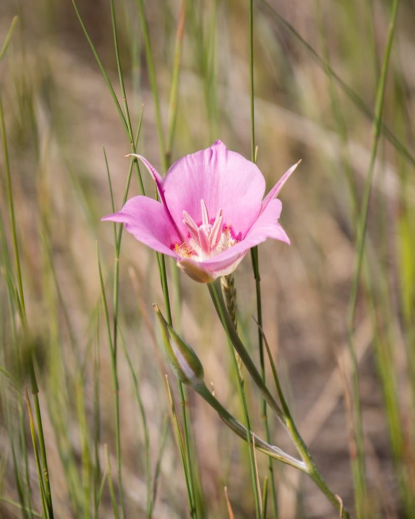
Grassland plants have adapted to difficult conditions. Many bloom early in the spring, completing their lifecycle before the summer heat and have extensive root systems that reach deep into the earth to capture moisture.
Grassland Losses
Grasslands cover less than 1% of British Columbia’s land area and are an endangered ecosystem as they lend themselves to human development: farming, roads, housing, and mining. The Thompson-Nicola and Central Okanagan have suffered the greatest losses.
The grasslands of Record Ridge, just outside the ski resort community of Rossland, “represent the only known extensive high elevation grasslands in the West Kootenay”. The Save Record Ridge Action Committee has filed a judicial review with the BC Supreme Court, challenging an Environmental Assessment Office decision not to require an environmental assessment for a proposed open-pit magnesium mine that could affect human health, water quality, and wildlife habitat. The area is also home to a small population of mountain holly fern that is only found in four locations in all of Canada.
Like many Canadian communities, Vernon is short of housing. The Vernon Commonage development plan would provide 4,000 new homes over the next 20 years. It would, however, be built on one of the city’s two remaining intact, natural ecosystems. The Vernon Commonage Preservation Alliance hopes to purchase and protect private parcels of this sensitive landscape.
Conservation Efforts
A crowdfunding campaign led by the BC Parks Foundation successfully protected 517 acres on Juniper Ridge, east of Kamloops. Over 30 species of birds have been spotted in the area, which is home to Douglas fir, ponderosa pine, and Rocky Mountain juniper, some of which are 250 years old.
A larger parcel of land at Lac du Bois northwest of Kamloops is now protected by the BC Parks Foundation and the Nature Conservancy of Canada. Heading uphill from the Thompson valleys, it passes through 3 distinct grassland communities before arriving at the forested hills above. Balsamroot and brown-eyed susans colour the slopes in early spring, and the area is home to many species at risk: burrowing owls, flammulated owls, sharp-tailed grouse, badger, and the northern pacific rattlesnake.
Grasslands Conservation Council of BC
Founded in 1999, the Grasslands Conservation Council of BC has roots in both the ranching and conservation communities and plays a key role in research, education, and advocacy.
The Council works with all levels of government to share its expertise and protect grassland health, providing input on development projects of all kinds. A 2015 report inventorying BC’s grasslands and mapping the losses has proven invaluable when lobbying for increased protection, allowing policymakers to arrive at informed decisions over the future of grasslands in BC.
Further Information
Grasslands Conservation Council of BC
British Columbia’s Grassland Regions [PDF, Grasslands Conservation Council of BC]
Mapping Grassland Boundaries and Losses [Grasslands Conservation Council of BC]
Visit BC’s Desert Country [EcoFriendly West]
Photo credit: https://www.flickr.com/photos/apmckinlay/18899611780
EcoFriendly West informs and encourages initiatives that support Western Canada’s natural environment through its online publication and the Nature Companion website/app. Like us on Facebook, follow us on BlueSky, X, and Mastodon, or subscribe by email.
Member discussion